Environmental improvement project for La Concordia ravine and areas surrounding the Anchura riverbed. Municipality of Elche de la Sierra (Albacete).
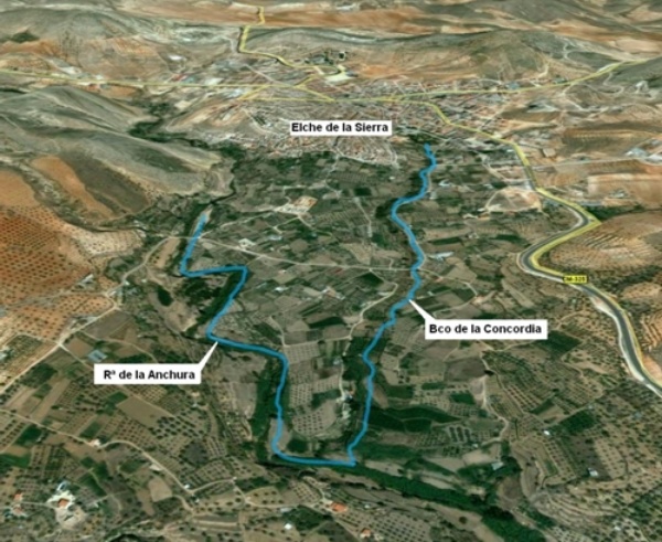
La Concordia ravine and the Anchura riverbed (also known as Elche de la Sierra stream)are part of the upper Segura river basin. The ravine starts near the village of Elche de la Sierra, on the hillsides north of town, under which it flows from its headwaters (buried drainage network). Running for a little over 2 km, and with a river basin of almost 2 km2, it joins at the left bank of the Anchura riverbed, which is an important tributary on the left margin of the Segura river.
The sections subject to study and environmental improvement are the following:
- Section of La Concordia ravine between the exit point of the buried section and the point where it meets the Anchura riverbed, for an approximate length of 1,300 m.
- The area of the Anchura riverbed upstream from where it meets La Concordia (near the bridge on the local road that crosses over the stream), for an approximate length of 1,150 m.

Location map
In order to achieve the goals of the National River Restoration Strategy, the project aims at improving the environmental condition of this river section which is distinctly urban, currently degraded mainly because of human intervention (first section has been turned into an irrigation ditch), while at the same time making it possible to integrate it into the urban landscape. It also aims at improving the ecological situation of the area around the Anchura riverbed by recovering the vegetation on its banks.
| Phase | Status |
|---|---|
| Environmental condition assessment (ECA) |
Checked out |
| Open Day. | Pending |
| Project drafting | Pending |

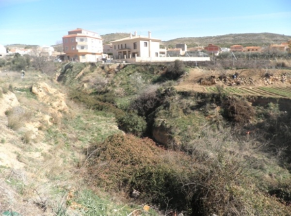
La Concordia ravine photograph


