Chirivel riverbed restoration project from Chirivel to the point where it meets the Chico river. Municipalities of Chrivel and Vélez Rubio(Almería).
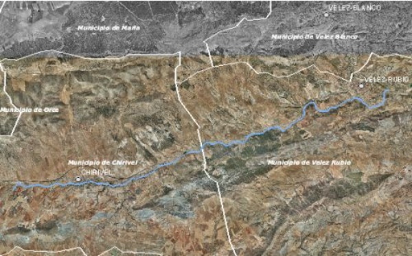
The Chirivel riverbed is part of the upper Guadalentín basin. It begins at the foot of the southern slopes of the Oce and María ranges and runs through the municipalities of Chirivel, Vélez Rubio, and Vélez Blanco for its last stretch before it meets the Claro river. The section subject to restoration has a length of approximately 28 km., starting upstream from the town of Chirivel (some 3km from where it crosses road A-399 and meets the Cañada Honda riverbed), up to where it converges with the Chico river in Vélez Rubio.

Location map
In order to achieve the goals of the National River Restoration Project, the Chirivel riverbed restoration project aims at improving its ecological condition, currently degraded due to the neglect of the “bardas” or containment mounds (a series of walls built of sand and farming soil on both sides of the riverbed like an embankment to protect crops, where a unique,healthy forest used to thrive) and other human-induced environmental stresses, mainly the frequent use of the riverbed by motor vehicles.
| Phase | Status |
|---|---|
| Ecological Condition Assessment(ECA) |
Event held |
| Open Day. It was held on 10/14/2009 at 10:30 (Chirivel Town hall Chamber, c/Paseo 1) |
Event held |
| Project drafting | Pending |
| Meeting for the Presentation of Project Actions: 06/22/2010 at 10:30 in the Chirivel Town hall Chamber |
Pending |

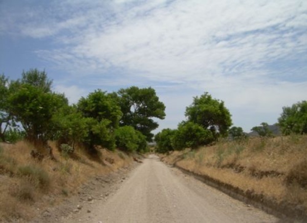
Chirivel riverbed photograph


