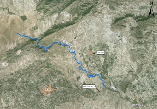
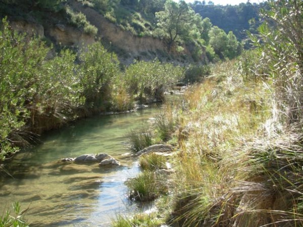
The Perea riverbed, a tributary of the Mula river on its left margin near the La Misericordia neighborhood (“Bº Misericordia” in Spanish)(Baños de Mula), with an approximate length of 13.5 km, has its source in Fuente Caputa, between the hills of the "Loma del Herrero" and the "Cejo Cortado";, although up to that point where the riverbed water flows permanently, it receives the waters of the Ricote range on the east, those of the "Loma del Herrero" on the west, and the water collected on the large plateau extending to the north (the sites of Veto, Llano de la Mata, El Prado and El Ardal). The section subject to environmental improvement is that stretching mainly from the old Roman dam up to the weir at the Perea power pant, with some re-vegetation patches along the rest of the riverbed.

Location map
In order to achieve the goals of the National River Restoration Strategy, the project aims at improving the ecological condition of this river section, regulating public use in the area of Fuente Caputa to make it compatible with the natural value of its surroundings, restoring the vegetation on the margins of the river, degraded mainly because of the heavy environmental stress caused by cattle in the area, and enhancing cultural heritage through restoration and musealization of the old Roman dam.
| Phase | Status |
|---|---|
| Ecological Condition Assessment (ECA) |
Checked out |
| Open Day. A meeting was held: Date 07/05/2009 at 10:30 in the Mula Townhall Auditorio. Plaza del Hospital s/n next to the public library. |
Held |
| Project drafting | Pending |
| Meeting to present the Project Actions: 06/17/2010 at 10:00 in the Caja Murcia Cultural Events Hall in Mula (c/Boticas) |
Pending |

Perea riverbed photograph


