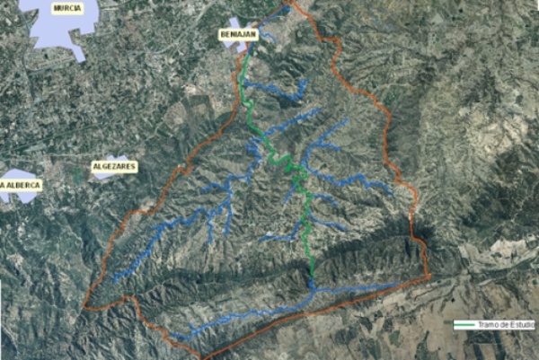
The Garruchal riverbed is located in the southern ranges of the municipality of Murcia. It has its source in the Collado de las Zorras, in the northern slopes of the Villares range, and its final stretch flows through the rural districts of Beniaján and Torreagüera, where it is distributed through the network of irrigation ditches and channels near El Reguerón. The section subject to study and environmental improvement is located between the "Estrecho" on the foothills of the Columbares range and the Cabezo del Buitre, and the point where it crosses the road that joins El Bojal with the rural district of Beniaján, and it has a length of a little over 9 km.

Location map
In order to achieve the goals of the National River Restoration Strategy, the project aims at improving the ecological condition of this section of the river, restoring the vegetation on its margins, mainly on its final stretch near Beniaján, while at the same time, enhancing the value of its natural, landscape and cultural features and making them compatible with public use.
| Phase | Status |
|---|---|
| Ecological Condition Assessment (ECA) |
Checked out |
Open Day.
|
Pending |
| Project drafting | Pending |

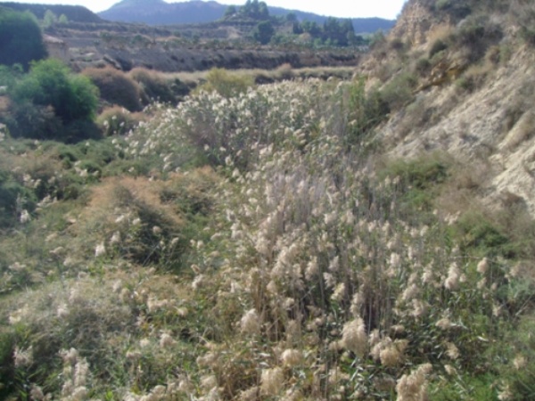
Garruchal riverbed photograph
 (16 MB)
 (105 MB)


