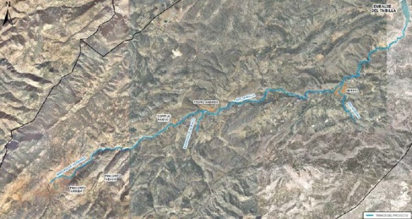
The Taibilla river is part of the upper Segura river basin. Its sources are the waters if several streams and gullies on the northern slopes of the Cabras range: Molino, Bogarra and Huebras streams and the Blanco gully. It flows through the municipality of Nerpio in Albacete and between the boundaries of Yeste and Letur, before emptying into the Segura river downstream from the Fuensanta reservoir. The section subject to enviromental improvement includes the Taibilla river, from the confluence of the headwater streams up to where it joins the Acedas river. This tributary on its right margin is also included into the actions of this project, and it covers a total approximate length (including all sections of the project) of 28.7 km and an average slope of 1.7 % on the section of the Taibilla river subject to this project.

Location map
In order to achieve the goals of the National River Restoration Strategy, the prject aims at improving the ecological condition of this river stretch, recovering the vegetation on its banks where it is scarce or reduced to a few forest areas, and fostering its natural and landscape attributes to make them compatible with a regulated and responsible public use.
| Phase | Status |
|---|---|
| Ecological Condition Assessment(ECA) |
Checked out |
| Open Day. It was held on 11/11/2010 at 18:00 (Nerpio Town Hall Auditorium. Plaza Mayor, 1. Nerpio (Albacete)). |
Held |
| Project drafting | Pending |

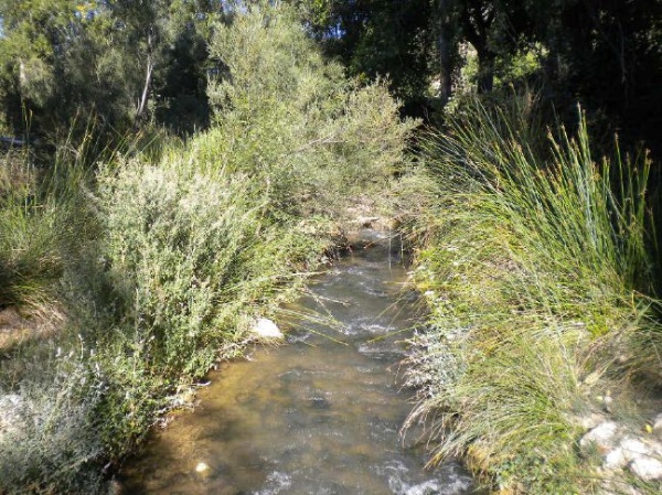
Taibilla river photograph


